| UTIC Services Sdn. Bhd. |
| CCTV Surveys |
| Cure In Place Pipelining (CIPP) |
| High Pressure Water Jetting |
| Inflow & Infiltration (I & I) Surveys |
| Mechanical Joint Seals |
| Pipeline Radar Survey |
| Sectional Pipeline Repair |
| Utility Detection & Mapping |
| Water Leak Detection |
| Previous | |
| Next | |
| Vacancy | |
| Contact Us | |
| Staff Login |
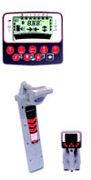
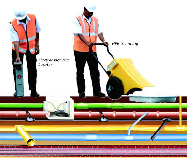
UTILITY DETECTION AND MAPPING
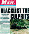
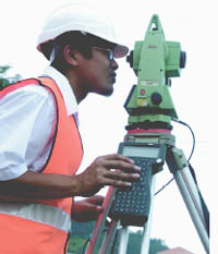
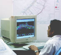
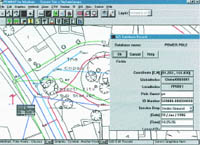
UTIC detection Technicians provide information on the exact position, depth and type of buried pipes and cables in form of as-built drawings. By using non-destructive remote methods all types of underground utilities can be precisely located. A combination of electromagnetic detection and ground penetrating radar (GPR) ensures the highest accuracy of work and allows for detection in all site conditions. Further site investigation can provide the size, voltage, material, number, and specification of existing utilities. Once located our Surveyors will record this information by using electronic survey equipment and 3D LocMAp™ utility software, the data is then processed and superimposed onto the base plan, the end product will be highly accurate coordinated utility plans. UTIC plans show the position of existing buried utilities relative to all surface features such as road, drains, street lighting, traffic lights, bridges and are used to carry out ‘clash analysis’. Having accurate utility information at the planning stage of a project will allow proper design, planning and costing and will prevent delays at a later stage. The risk of utility damage is greatly reduced and construction speed increased. UTIC data in electronic format provides a permanent record of the utility, which can then be transferred to a GIS database. Accurate utility data is the key to efficient network management, protection, rehabilitation and modernisation.
|
|
|||||||||||||||||||||||||
 |
||||||||||||||||||||||||||